SCAN YOUR SITE, GET RICH DATA, MAKE CALCULATED DECISIONS TO SAVE TIME AND MONEY
With Drone Pro Media, you get a whole lot more than just a production company. Drone Pro Media are professionals at using the drone platform to gather important data as it relates to inspection, construction, insurance, and many more applications in search of survey-quality 3D mapping and models that inform decisions and save money on large projects. Get in touch with us today to find out more about the services that we offer.
2D Mapping
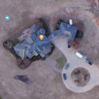
Our drone flight path will yield you up to .5 inch resolution 2D maps ideal for performing measurements and calculations.
3D Mapping
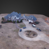
Our drone flight path will also create a 3D map to show great detail during a site survey.
Plant Health
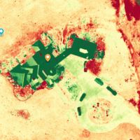
Plant health can be quickly analyzed by creating a point cloud from an aerial flight.
Elevation
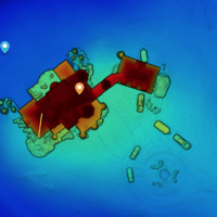
You can quickly visualize and measure elevation with a drone flight path of your site.
Get in touch and we’ll get back to you as soon as we can. We look forward to hearing from you!
